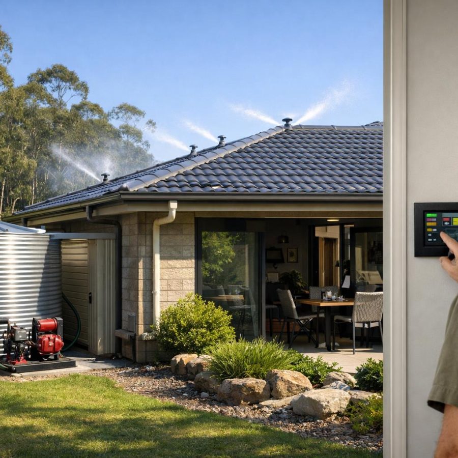
Ember attack spread modelling is a vital tool in understanding how small burning particles travel during bushfires, creating new ignition points far from the main fire front. This guide explains the science and practical implications behind ember attacks for Australian communities.
By exploring research-backed insights and emergency response considerations, this article supports fire safety awareness, helping residents prepare and respond effectively. Recognising ember attack risks can save lives, property, and natural environments.
Ember Attack Spread Modelling: Bushfire Safety Guide for Australians
Learn how ember attack can threaten homes, what it means for bushfire preparedness, and the simple actions that help families stay safer during high-risk conditions.
A clean, printable guide from www.firerescue.com.au with practical bushfire awareness content.
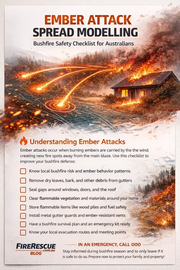
Understanding Ember Attack Spread Modelling
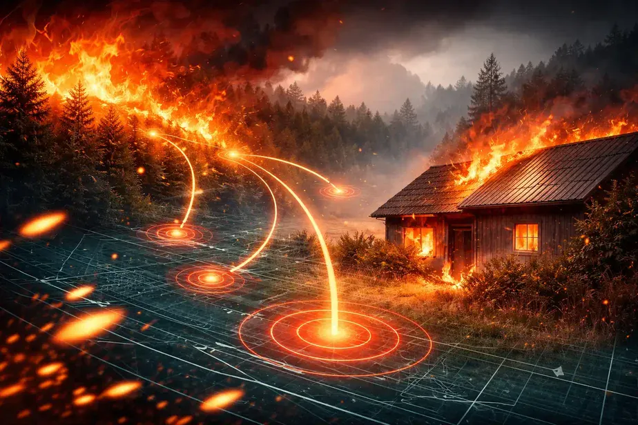
Ember attack spread modelling is the study and simulation of how windborne embers travel through the air during bushfires and ignite new fires at a distance from the main blaze. These embers are small pieces of burning material that can fly for kilometres, depending on weather conditions, terrain, and vegetation.
Researchers use ember attack spread modelling to predict where embers might land, how far they can go, and what structures or landscapes are at risk. The modelling combines data on wind speed and direction, ember size and weight, fire intensity, and fuel types to create scenarios that help emergency services and communities plan better for bushfire events.
Modern computational models employ advanced fluid dynamics and atmospheric physics to simulate ember trajectories with increasing precision. These models factor in turbulence, thermal updrafts generated by the fire itself, and the complex interaction between embers and the surrounding environment. Such detailed simulations enable emergency planners to anticipate not just the distance embers can travel, but also the density and concentration of ember showers in vulnerable areas.
Key Factors Influencing Ember Spread
Several elements determine how embers behave in the air and where they might start new fires. Wind is the most influential factor; strong gusts can carry embers much further, increasing the risk of fire spread. The terrain’s slope and features also affect ember behaviour, with hills and valleys creating complex airflows.
The size and type of ember matter as well. Larger embers often burn longer but fall more quickly, while smaller embers can float longer but may extinguish sooner. Fuel load, such as dry leaves, bark, and grasses, provides the material embers ignite upon landing. Models must consider these fuel characteristics to estimate fire ignition probability accurately.
Topography plays a critical role beyond just wind patterns. For instance, embers can be funneled through narrow valleys or trapped in depressions, leading to concentrated ignition points that may rapidly develop into spot fires. Moreover, urban environments with diverse building layouts and vegetation types create additional complexity. Modelling must therefore incorporate detailed land-use data to assess risks to residential areas effectively.
Weather Conditions and Ember Movement
Bushfires often occur during hot, dry, and windy conditions, which are ideal for ember transport. Low humidity allows fuels to ignite more easily, and high winds can carry embers tens of kilometres. Modelling integrates real-time weather data to enhance prediction accuracy, helping emergency responders assess evolving threats.
In addition to wind and humidity, atmospheric stability influences ember behaviour. Unstable air masses can generate strong updrafts that lift embers higher and extend their travel distance, while stable conditions might limit vertical movement. Temperature gradients near the fire front also affect ember lofting and deposition patterns. By incorporating these factors, models can forecast not only where embers land but also the timing and intensity of ember showers during fire events.
Practical Uses of Ember Attack Spread Modelling in Australia
In Australia, ember attack spread modelling supports fire agencies like Fire and Rescue NSW, the Country Fire Authority in Victoria, and the Rural Fire Service in Queensland by improving firefighting strategies. Models can identify high-risk areas, so crews allocate resources effectively during bushfire seasons. They also guide controlled burns and vegetation management to reduce fuel loads where embers are most likely to cause spot fires.
Emergency warnings issued by the Bureau of Meteorology often incorporate ember spread risk assessments, alerting communities to potential ember attacks before or during fires. Local services such as the State Emergency Service (SES) assist in preparing communities for ember-related threats by reinforcing home safety and evacuation readiness.
Beyond immediate firefighting, ember attack spread modelling informs long-term urban planning and infrastructure design. Town planners and developers use these insights to implement fire-resilient building codes and zoning regulations that limit development in high-risk ember zones. This proactive approach reduces the vulnerability of communities to ember-driven spot fires, which are often the primary cause of property loss during major bushfires.
Additionally, research institutions collaborate with fire agencies to refine modelling techniques continually. Incorporating satellite data, drone surveillance, and ground-based sensors enhances real-time ember tracking and post-fire analysis. These technological advancements are crucial for adapting to changing climate patterns that influence fire behaviour and ember activity in unprecedented ways.
Community Safety and Preparedness Against Ember Attacks
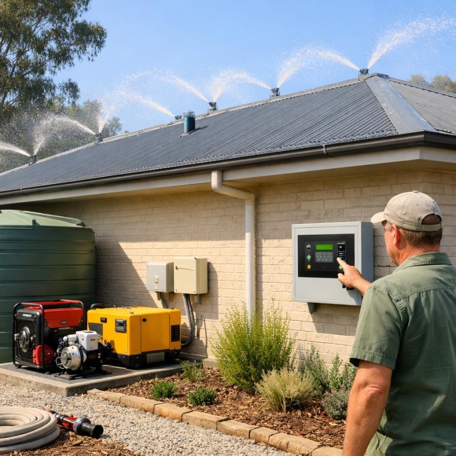
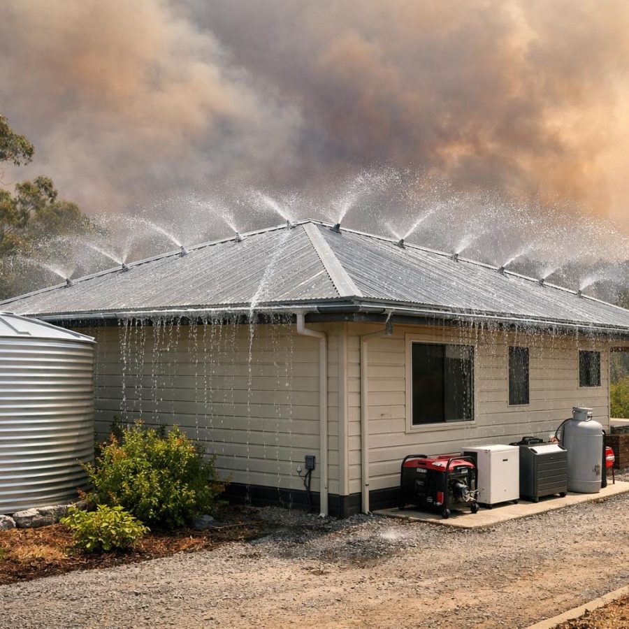
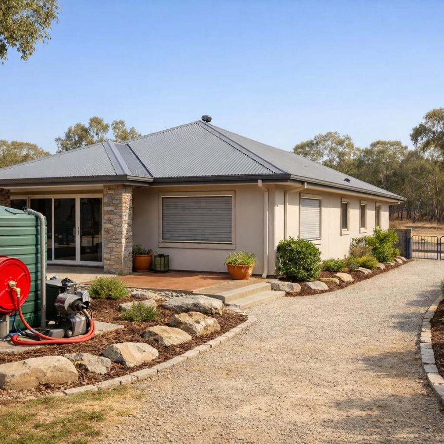
Understanding ember attack spread modelling helps residents take sensible steps to protect their homes and families. Clearing gutters of leaves and debris, maintaining a defensible space around buildings, and using ember-resistant building materials all reduce the chance of ignition from flying embers.
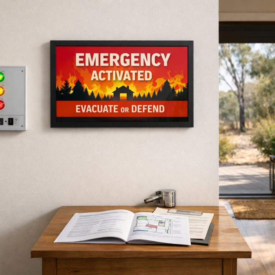
During high fire danger days, residents should closely monitor local warnings from fire services and follow advice promptly. Planning evacuation routes and having an emergency kit ready are essential, as embers can cause spot fires that ignite quickly and unpredictably.
Community education plays a pivotal role in mitigating ember attack risks. Fire agencies frequently conduct workshops and distribute materials explaining how embers travel and how to harden homes against them. Neighbourhood groups can organise collective efforts to clear vegetation and maintain firebreaks, creating safer environments. Such grassroots initiatives complement official modelling and emergency services, fostering resilience through shared knowledge and action.
Following Official Advice
Always rely on official sources such as Fire and Rescue NSW, the Country Fire Authority, and the Bureau of Meteorology for emergency information. If you are in immediate danger during a bushfire or ember attack, call 000 for fire, police, or ambulance assistance without delay. The emergency services are trained to respond rapidly and coordinate community safety efforts.
In addition to monitoring official channels, residents should consider subscribing to community alert systems that provide real-time notifications on fire developments and ember threats. Social media platforms and local radio stations often disseminate timely updates, but verifying the information through official websites or hotlines ensures accuracy and helps avoid misinformation during critical times.
Who Does What in Australia
Collaboration between these agencies is crucial during bushfire emergencies, particularly when ember attacks cause multiple spot fires that strain resources. Joint training exercises and communication protocols ensure a coordinated response, reducing confusion and enhancing public safety. Additionally, volunteer firefighting brigades and community fireguard groups play essential roles in local preparedness and initial response efforts.
If You Only Do Five Things
First, stay informed about fire danger ratings and ember attack risks by monitoring official updates from fire agencies and the Bureau of Meteorology. Second, prepare your property by removing dry fuel and maintaining a clear area around buildings to reduce ember ignition chances. Third, create and practice an evacuation plan with your household, knowing your routes and destinations. Fourth, assemble an emergency kit that includes water, important documents, and supplies to last at least 72 hours. Lastly, never hesitate to call 000 immediately if you or others are in danger due to fire or ember attacks, ensuring you receive prompt help.
By taking these five essential steps, individuals and families can significantly improve their safety and resilience against the unpredictable nature of ember attacks. Preparedness not only protects lives and property but also eases the burden on emergency services during critical times.
Ember attack spread modelling may seem like technical science, but it directly supports safer, stronger communities facing Australia’s bushfire challenges. Understanding this phenomenon and acting on practical advice can make all the difference when fire threatens.
FireRescue Training Hub
Access practical fire and emergency study support resources, downloads, checklists, audio guides, and member-only course content.
- Course library
- PDF downloads
- Audio guides
- Checklists
Study support only. Not accredited training or a replacement for workplace procedures.
About the author and safety review
Ken Walker
Former Station Officer and fire service educator
Former career firefighter with extensive career and volunteer fire service experience.
Qualifications: Associate Diploma of Applied Science in Fire Technology; Institute of Fire Engineers studies.
Author profilehttps://www.firerescue.com.au/about-us/