BAL Rating Guide
Quick refresher: BAL-LOW to BAL-FZ.
Part 5 of 6
Determine and Verify BAL: Using Site Inputs Correctly
Determine and verify BAL by bringing site inputs together in a careful sequence. This lesson explains how relevant fire danger information, vegetation classification, distance and slope support the BAL decision.
Mark each section as refreshed as you work through the article.
0% refreshed
Learning summary
Part 5 turns site information into a BAL determination pathway.
Main goal
You will learn how the major site inputs work together when determining BAL.
Key inputs
The key inputs are fire danger information, vegetation classification, vegetation type, distance and slope.
Final habit
After the BAL is determined, it must be checked and verified through organisational procedures.
What it means to determine and verify BAL
Determining BAL is not a guess. It is a structured decision based on recorded site inputs.
To determine and verify BAL, the assessor brings together the information gathered in earlier parts. This includes the site location, fire danger input, vegetation classification, vegetation type, distance from vegetation to the building site and slope under vegetation.
The goal is to identify the Bushfire Attack Level that applies to the site through the required method. The assessor should not rely on appearance alone. Instead, the assessor should use the relevant inputs and follow the applicable procedure.
Verification is the checking step. It confirms that the selected BAL is appropriate to the site and that the decision follows organisational procedures. Therefore, verification protects the quality of the assessment.
This part is about careful decision-making. It does not replace standards, organisational requirements or jurisdictional rules. It helps learners understand the logic before they complete real or simulated assessments under approved conditions.
Determine first by using the required inputs. Then verify by checking the outcome against procedure, evidence and records.
The site input chain
BAL determination works best when the assessor follows a clear input chain.
The site input chain helps the learner keep the process in order. First, confirm the site and the proposed building location. Next, confirm the relevant fire danger input. Then, use the vegetation classification and type. After that, use the measured distance and slope information.
Each input supports the next step. If the site location is unclear, the distance may be unclear. If vegetation classification is weak, the BAL decision may be hard to defend. If slope is ignored, the assessment may miss a required site condition.
For this reason, Part 5 is not separate from Parts 1 to 4. It depends on them. The assessor can only determine a reliable BAL when earlier information has been gathered well.
In practice, the learner should treat the process like a chain. A weak link can affect the whole assessment. Therefore, the assessor should check each input before relying on it.
Check the site and proposed building position before using measurements.
Use the relevant FDI or wind speed input required by procedure.
Apply vegetation classification, type and height where required.
Apply measured distance and slope information under procedure.
Use the relevant fire danger input
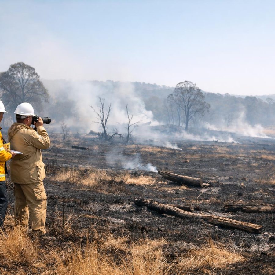
Fire danger information is one of the required inputs used to determine BAL.
The course refers to Fire Danger Index and/or wind speed. It also refers to forest fire and grassland fire danger indexes, along with organisational and jurisdiction-specific requirements for their use.
This means the assessor must know which input applies to the assessment. The assessor should not choose casually. Instead, the assessor should use the required standard, guide or organisational procedure.
Fire danger information helps place the site in the correct assessment context. It connects the site to likely fire behaviour conditions under the applicable method. Therefore, it must be recorded clearly and used consistently.
If the fire danger input is unclear, the assessor should pause and seek guidance through the correct channel. It is better to clarify the input than to build the BAL decision on uncertainty.
Fire danger input checks
- Is the relevant FDI or wind speed input identified?
- Does the site require forest fire or grassland fire danger information?
- Have organisational and jurisdictional requirements been checked?
- Is the input recorded clearly enough for later review?
Use vegetation classification and type
Vegetation classification and type are core inputs in the BAL determination process.
Vegetation classification and type describe the fuel environment near the site. The PDF connects vegetation type to AS 3959 or its successor, as well as organisational and jurisdictional guides.
This means the assessor should use the required source. A simple description such as “trees nearby” or “grass near the house” is not enough. The vegetation must be considered through the proper classification method.
Vegetation type also connects to earlier fire behaviour learning. Different vegetation can affect fuel arrangement, ember production, flame height and fire intensity. However, the BAL decision still relies on the formal assessment method.
Where vegetation is mixed, unclear or difficult to access, the assessor should record the issue. Then the assessor should follow organisational procedures to resolve or manage the uncertainty.
Use the required standard, guide or procedure to identify vegetation classification.
Record vegetation type clearly so the BAL pathway can be reviewed later.
Record mixed vegetation, access problems or limits that affect the decision.
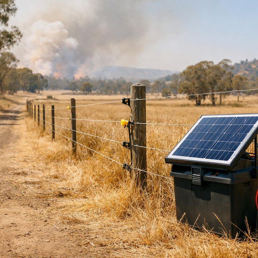
Use distance to vegetation correctly
Distance helps describe the relationship between vegetation and the building site.
Distance from vegetation to the building site is a required input. It must be measured in accordance with organisational procedures before it is used in BAL determination.
The assessor should confirm what was measured and where the measurement started and ended. This matters because a small misunderstanding can affect the way the input is used.
Distance should also be recorded clearly. A note such as “close to trees” is not enough. The record should give the measured information in the format required by the organisation.
If access issues, unclear boundaries or an uncertain building position affected the measurement, those constraints should be recorded. Then the assessor should follow procedure before relying on the result.
Do not adjust a distance measurement to make the result seem better or worse. Use the required method and record the evidence clearly.
Use slope information with care
Slope under vegetation is a required site condition input and must be handled carefully.
Slope information helps describe how landform may influence bushfire behaviour near the site. The PDF requires the slope of land under vegetation to be measured in accordance with organisational procedures.
In Part 4, the learner reviewed slope and effective slope thinking. In Part 5, that information becomes part of the BAL determination pathway. Therefore, it must be reliable.
The assessor should check whether the slope information matches the relevant vegetation area and assessment method. If slope varies across the site, the record should make the situation clear.
If the assessor cannot safely measure part of the slope, that limitation should not be hidden. Instead, the assessor should record the constraint and follow the required procedure.
Slope input checks
- Was slope measured under the required procedure?
- Does the slope relate to the relevant vegetation area?
- Is effective slope relevant under the applicable method?
- Are uneven landform or access limits recorded clearly?
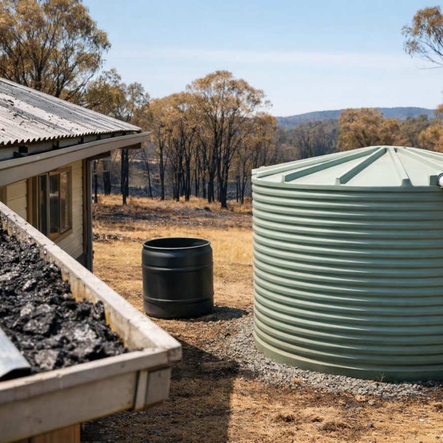
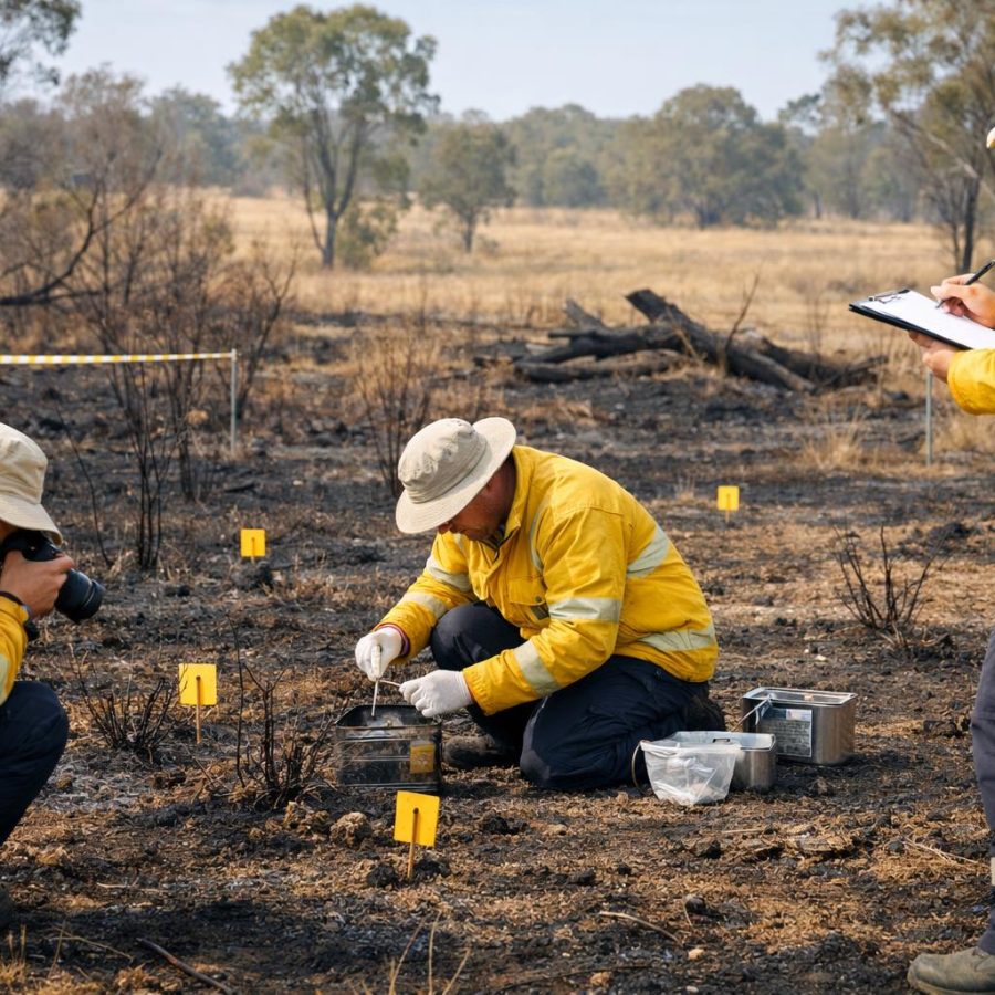
Consider sources of combustion and vulnerable features
Sources of combustion can influence assessment thinking and should not be missed.
The PDF refers to sources of combustion, including flammable elements and vulnerable features in and around the site. It also refers to structures and other sources adjacent to or at the proposed site.
These features matter because bushfire attack is not only about the main vegetation area. Embers, radiant heat and flame contact can interact with the immediate environment around a building site.
The assessor should observe these features and record relevant information. However, the assessor should avoid giving casual advice outside their role. The correct approach is to follow procedure, record what matters and verify the assessment pathway.
Examples may include nearby structures, combustible materials, vulnerable building features, decks, fences or site features that may affect exposure. The assessor must decide relevance through the approved assessment process.
Nearby structures
Structures near the proposed building site may need to be observed and recorded.
Flammable elements
Combustible features can affect how bushfire attack interacts with the immediate environment.
Vulnerable features
Features that may collect embers or increase exposure should be noted under procedure.
A practical BAL decision pathway
A clear decision pathway helps the learner move from site evidence to BAL determination.
A practical decision pathway keeps the work simple. First, confirm the assessment task and site. Next, check the applicable standard, jurisdiction and organisational procedure. Then, gather and confirm the required inputs.
After that, use the relevant FDI or wind speed, vegetation classification and type, distance to vegetation and slope. These inputs support the BAL determination under the required method.
Once a BAL is identified, the assessor should check the result. This includes checking that the input chain is complete, the records are clear and the selected BAL matches the site evidence.
Finally, the assessor should prepare for documentation and reporting. Part 6 will focus on records, reports, communication and the final capstone challenge.
Decision pathway
- Confirm the site and proposed building location.
- Check the applicable standard, guide and procedure.
- Confirm FDI or wind speed input.
- Confirm vegetation classification and type.
- Confirm distance to vegetation.
- Confirm slope under vegetation.
- Determine the BAL using the required method.
- Verify the BAL through organisational procedures.
Verify the BAL before it is relied on
Verification checks that the BAL is appropriate to the site and supported by evidence.
The course requires BALs appropriate to the site to be verified in accordance with organisational procedures. This means the assessor should not stop once the first answer appears.
Verification may include checking the site inputs, reviewing measurement records, checking the applicable procedure and confirming that constraints were handled properly. It may also include supervisor or organisational review where required.
This step is especially important when the site is complex. Mixed vegetation, unclear boundaries, difficult access, varying slope or nearby combustion sources may all require extra care.
Verification improves confidence. It also supports clearer reporting because the assessor can show that the final BAL was not chosen casually.
Ask this simple question before moving on: does the BAL outcome clearly match the recorded inputs and the required procedure?
Using the BAL READY Cycle in this part
Part 5 focuses on the D step: determine and verify the Bushfire Attack Level.
The BAL READY Cycle now reaches the decision stage. The learner has reviewed bushfire attack, standards, site location, fuel, weather, vegetation, distance and slope. Therefore, the next step is to determine and verify BAL.
The cycle helps prevent rushing. It reminds the learner to check each input before moving to the outcome. It also reminds the assessor that records must remain clear.
Use the relevant FDI or wind speed input under procedure.
Use vegetation, distance and slope information carefully.
Apply the required method, then check the result.
Keep the evidence ready for Part 6 reporting.
Practical scenario drill
Use this scenario to practise the Part 5 decision pathway.
Scenario
You have confirmed the site and the proposed building location. You have the relevant fire danger input. You have classified nearby vegetation, measured distance to the building site and recorded slope under vegetation. One area had limited access, and that constraint has been noted.
Question: What is the best next step?
Common mistakes and better habits
These habits help protect the BAL determination from avoidable errors.
Common mistake
Jumping to a BAL result before checking the full input chain.
Better habit
Confirm FDI or wind speed, vegetation, distance and slope before determining BAL.
Common mistake
Using vegetation or slope information that was not measured or recorded clearly.
Better habit
Use only reliable information gathered through the required procedure.
Common mistake
Treating verification as optional paperwork after the result is chosen.
Better habit
Verify the BAL before relying on it, especially where the site is complex.
Knowledge check
Answer these quick questions before moving to Part 6.
60-second refresher drill
Use this drill as a fast recap for Part 5.
- Name the four main site inputs used to determine BAL.
- Explain why FDI or wind speed must be used through the required procedure.
- State why vegetation classification must be clear before BAL determination.
- Explain why distance and slope must be reliable.
- Describe why verification should happen before the BAL is relied on.
FireRescue Training Hub
Access practical fire and emergency study support resources, downloads, checklists, audio guides, and member-only course content.
- Course library
- PDF downloads
- Audio guides
- Checklists
Study support only. Not accredited training or a replacement for workplace procedures.
About the author and safety review
Ken Walker
Former Station Officer and fire service educator
Former career firefighter with extensive career and volunteer fire service experience.
Qualifications: Associate Diploma of Applied Science in Fire Technology; Institute of Fire Engineers studies.
Author profilehttps://www.firerescue.com.au/about-us/