BAL Rating Guide
Quick refresher: BAL-LOW to BAL-FZ.
Part 4 of 6
Vegetation, Distance and Slope: Reading the Site Correctly
Vegetation distance and slope are core BAL assessment inputs. This lesson explains how learners should approach vegetation classification, vegetation type and height, distance from vegetation to the building site, slope under vegetation and clear site records.
Mark each section as refreshed as you work through the article.
0% refreshed
Learning summary
Part 4 focuses on reading the site before the BAL is determined.
Main goal
You will learn how vegetation, distance and slope support the BAL assessment pathway.
Key inputs
This lesson covers vegetation classification, vegetation type, vegetation height, distance and slope.
Why it matters
If these inputs are wrong, the later BAL determination may be difficult to verify or explain.
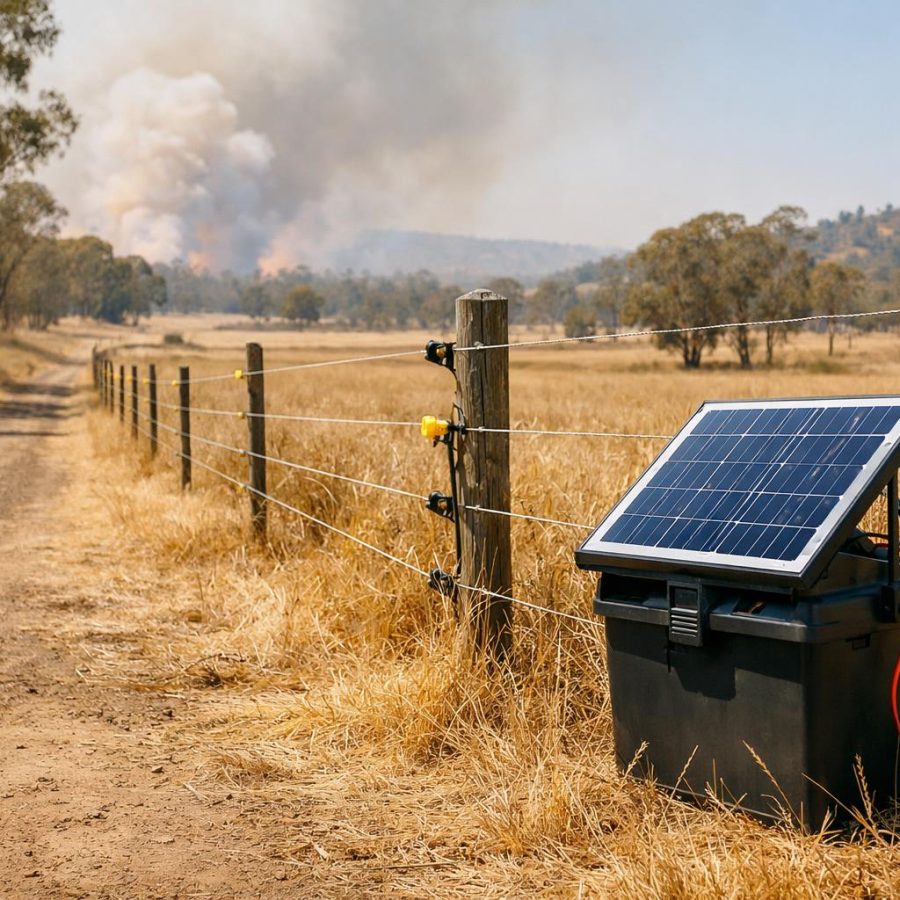
Why vegetation distance and slope matter
A BAL assessment depends on how the site sits near vegetation and landform.
Vegetation distance and slope are practical site inputs. They help the assessor understand how the proposed building site relates to nearby vegetation and the land beneath it.
In earlier parts, the course covered bushfire attack, fire behaviour, location, fire danger inputs and site constraints. Now the focus shifts to reading the physical site more closely.
The assessor must identify vegetation classification, vegetation type and height. The assessor must also measure distance from vegetation to the building site and measure slope of land under vegetation.
This work must follow organisational procedures. Therefore, the learner should avoid shortcuts, rough guesses or casual descriptions. Instead, the learner should collect clear site information that can support the later BAL decision.
Vegetation, distance and slope should be recorded carefully because Part 5 uses these inputs to help determine and verify the BAL.
Vegetation classification comes first
The assessor must identify vegetation using the required classification approach.
Vegetation classification is a major step in BAL assessment. The course refers to vegetation classification, type and height. It also links vegetation type to AS 3959 or successor standards, organisational guides and jurisdictional guides.
This means the assessor should not describe vegetation only in everyday terms. For example, “a few trees” or “bushy area” may not be enough. The vegetation must be considered in the way the applicable method requires.
Vegetation classification may include forest, woodland, shrubland, scrub, Mallee or Mulga, rainforest, grassland, tussock moorland and exclusions where applicable. The learner should use the correct source document and procedure to decide how the vegetation is treated.
Good classification supports consistency. It also helps another assessor, trainer or reviewer understand why the site was assessed in a particular way.
Vegetation classification prompts
- What vegetation type is present near the site?
- Does the applicable standard or guide define this vegetation type?
- Is there more than one vegetation type near the building site?
- Are any exclusions relevant under the required method?
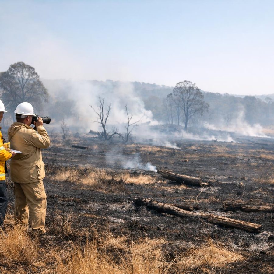
Understand vegetation type and height
Vegetation type and height help describe the fuel environment near the proposed building site.
Vegetation type and height are part of the site condition information required by the course. They help the assessor describe the vegetation that may influence bushfire exposure.
Vegetation type should be recorded using the required classification method. Height should also be considered according to organisational procedures and the applicable standard or guide.
This step connects directly with Part 2. Different vegetation types can affect fuel arrangement, flame height, ember production and fire behaviour. However, the assessor must still use the formal method rather than personal impressions.
If vegetation is mixed, unclear or hard to access, the assessor should record the issue clearly. In addition, the assessor should follow procedure if guidance is needed.
Use the required classification source rather than casual wording.
Record vegetation height in line with organisational and assessment procedures.
Note uncertainty, mixed vegetation or access issues when they affect the assessment.
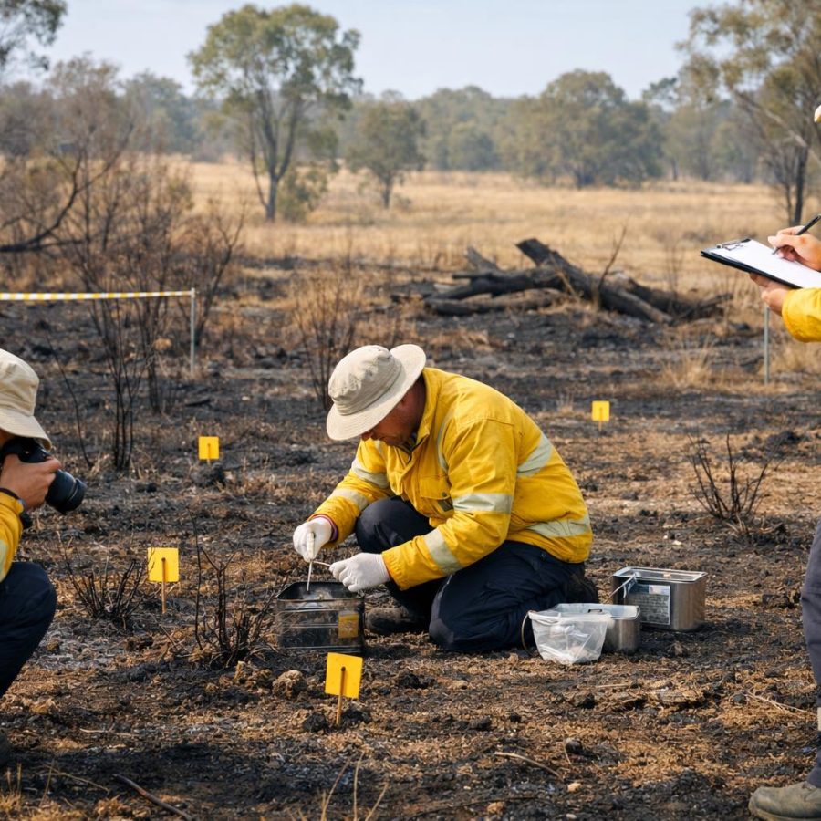
Measure distance from vegetation to the building site
Distance is a key site input and must be measured under the required procedure.
The course requires the assessor to measure distance from vegetation to building sites in accordance with organisational procedures. This step must be done carefully because distance helps describe the exposure relationship between vegetation and the proposed building site.
The learner should not rely on a visual guess. Instead, distance should be measured using the approved method, equipment and records required by the organisation.
Before measuring, the assessor should confirm the proposed building site. This connects back to Part 3. If the building location is not clear, the distance measurement may also become unclear.
When distance is recorded, the notes should be easy to follow. A later reader should understand what was measured, where it was measured from, and what constraint or limitation affected the measurement if one existed.
Do not guess distance because the site “looks close enough”. Confirm the relevant points, measure under procedure and record the result clearly.
Read the slope under vegetation
Slope under vegetation matters because landform can influence bushfire behaviour.
The course requires the assessor to measure slope of land under vegetation in accordance with organisational procedures. This means slope is not a side detail. It is a required site condition input.
Slope is important because fire behaviour can change across landform. Fire can behave differently when fuel sits on rising, falling or uneven ground. Therefore, the assessor must look at the land beneath the vegetation, not just the vegetation itself.
The learner should also understand the idea of effective slope. Effective slope refers to the slope that is relevant to the assessment process under the applicable method. The exact approach must come from the required standard, guide or organisational procedure.
Good slope assessment needs care. The assessor should avoid measuring from an unsafe position, guessing from a distance, or ignoring landform because vegetation looks similar across the site.
Slope reading prompts
- What is the slope of land under the relevant vegetation?
- Does the slope vary across the assessed area?
- Can the slope be measured safely and clearly?
- Is effective slope relevant under the applicable method?
Handle exclusions with care
Some vegetation may be treated differently where exclusions apply, but this must follow the required method.
The course refers to vegetation type and exclusions where applicable. This means the assessor may need to consider whether certain vegetation is included or excluded under the relevant standard, guide or procedure.
This is an area where learners must be careful. Exclusions should not be assumed because a patch of vegetation looks small, neat or low risk. Instead, the assessor should check the required method and record the reasoning clearly.
If an exclusion is used, the record should show enough detail for review. It should explain what was considered, which procedure guided the decision and how the conclusion supports the assessment pathway.
When in doubt, the learner should seek guidance through organisational channels. That approach is safer and more professional than forcing an answer.
Use exclusions only when the applicable method supports them, and make the record clear enough for another assessor to understand.
Use safe and suitable measurement practice
The assessor must collect information without creating unsafe conditions.
Vegetation, distance and slope work can involve uneven ground, dense vegetation, access restrictions, weather exposure and nearby hazards. Therefore, WHS/OHS thinking still applies in Part 4.
Safe measurement starts with planning. The assessor should know the site limits, the equipment needed, the access points and any known hazards before moving through the site.
On site, the assessor should avoid unsafe shortcuts. For example, do not climb unstable ground, enter restricted areas or push through vegetation where safe access is not available. Instead, record the constraint and follow procedure.
This approach protects the assessor and protects the quality of the assessment. It also supports clear reporting when a limitation affected the work.
Before measuring
Confirm the site, building position, access points and required equipment.
During measuring
Stay aware of footing, traffic, vegetation, heat, animals and restricted areas.
After measuring
Record results, constraints and any points needing follow-up.
Record vegetation, distance and slope clearly
Clear records help the later BAL decision stand up to review.
Clear records are essential in this part. The assessor should record vegetation classification, vegetation type and height, distance from vegetation to the building site, and slope under vegetation.
The record should also include constraints and limitations. For example, if dense vegetation blocked safe access, or if the building position was uncertain, this should be written clearly.
Good records do not need to be complicated. They need to be accurate, complete and easy to follow. Another person should be able to read the notes and understand how the site information was gathered.
This record becomes especially important in Part 5. The BAL will be determined using relevant fire danger, vegetation, distance and slope information. Therefore, each input should be easy to verify.
Record quality checklist
- Is vegetation classification recorded clearly?
- Are vegetation type and height recorded where required?
- Is distance from vegetation to building site recorded clearly?
- Is slope under vegetation recorded under procedure?
- Are constraints and limitations included?
Using the BAL READY Cycle in this part
Part 4 focuses strongly on the E step: examine vegetation, distance and slope.
The BAL READY Cycle helps organise the work. In this part, the learner confirms the location, reviews the site context, examines vegetation, measures distance and reads slope.
These steps prepare the learner for Part 5. Next, the relevant fire danger input, vegetation classification, distance and slope will be brought together to determine and verify the BAL.
Check the site and proposed building position before measuring.
Classify vegetation and record type, height and exclusions where relevant.
Measure distance and slope under the required procedure.
Record enough detail to support the next BAL decision step.
Practical scenario drill
Use this scenario to apply vegetation, distance and slope thinking.
Scenario
You are assessing a proposed building site near mixed vegetation. The building location is marked. One vegetation edge is easy to access. Another area has uneven ground and poor visibility. The land under part of the vegetation slopes away from the site.
Question: What is the best assessment approach?
Common mistakes and better habits
These habits help improve accuracy before the BAL is determined.
Common mistake
Describing vegetation casually instead of using the required classification method.
Better habit
Use the applicable standard, guide and organisational procedure to classify vegetation.
Common mistake
Guessing distance from vegetation to the building site because the site looks simple.
Better habit
Confirm the relevant points, measure under procedure and record the result clearly.
Common mistake
Ignoring slope because vegetation classification feels more obvious.
Better habit
Measure and record slope under vegetation because landform affects assessment thinking.
Knowledge check
Answer these quick questions before moving to Part 5.
60-second refresher drill
Use this drill as a quick recap for Part 4.
- Name three vegetation details that may need to be identified.
- Explain why casual vegetation descriptions are not enough.
- State why distance from vegetation to the building site must be measured carefully.
- Explain why slope under vegetation matters.
- Name two constraints that should be recorded if they affect measuring.
FireRescue Training Hub
Access practical fire and emergency study support resources, downloads, checklists, audio guides, and member-only course content.
- Course library
- PDF downloads
- Audio guides
- Checklists
Study support only. Not accredited training or a replacement for workplace procedures.
About the author and safety review
Ken Walker
Former Station Officer and fire service educator
Former career firefighter with extensive career and volunteer fire service experience.
Qualifications: Associate Diploma of Applied Science in Fire Technology; Institute of Fire Engineers studies.
Author profilehttps://www.firerescue.com.au/about-us/