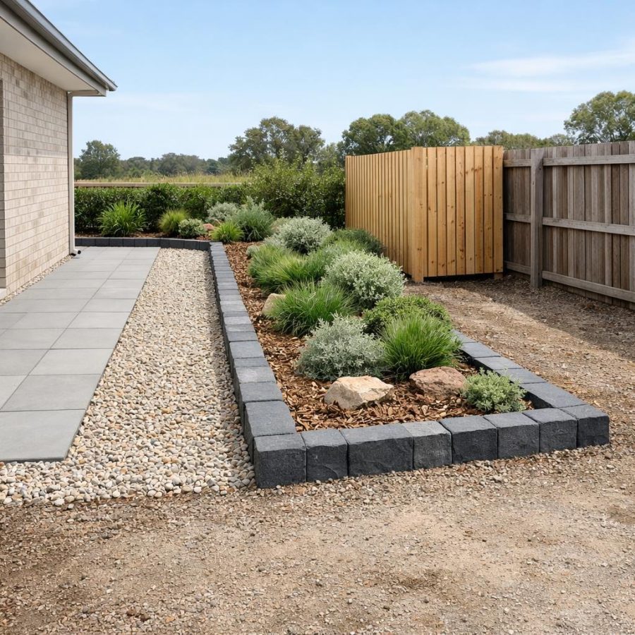
A Bushfire Attack Level assessment is one of the main ways Australians check how exposed a proposed building may be to bushfire conditions. It helps turn a site’s bushfire setting into a practical construction outcome, so owners, designers, building surveyors and councils can understand what level of protection may be needed before work begins.
What a Bushfire Attack Level assessment measures
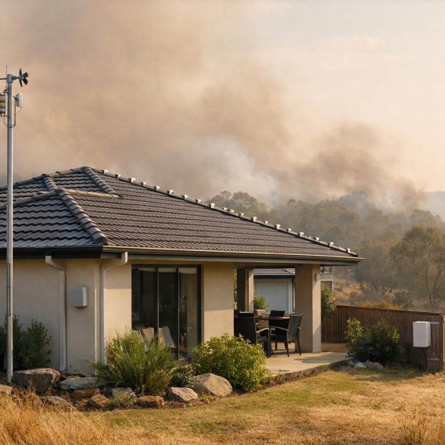
In simple terms, BAL means Bushfire Attack Level. A Bushfire Attack Level assessment estimates how severe the bushfire exposure may be at a building site. It focuses on three main hazards: ember attack, radiant heat and direct flame contact.
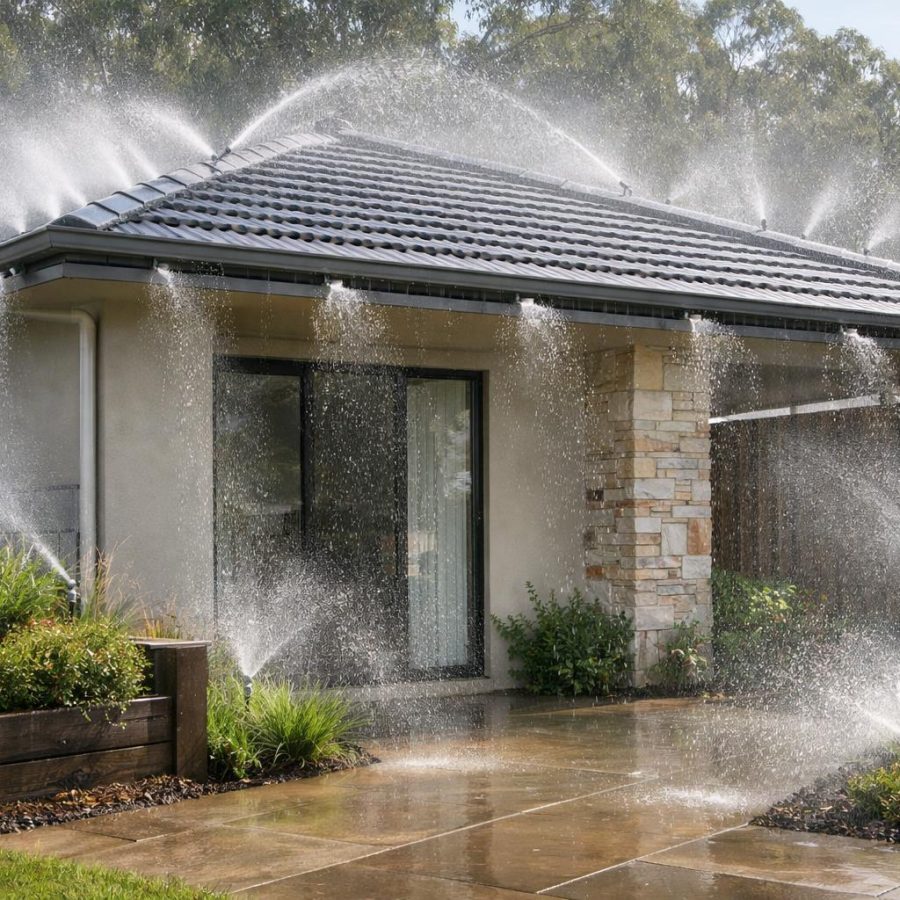
Embers are burning pieces of vegetation or debris that can be carried by wind and ignite roofs, gutters, vents, decks, fences or nearby materials. Radiant heat is the heat felt from a fire at a distance, even without flames touching the building. Direct flame contact is the most severe form of exposure, where flames may reach the structure itself.
The BAL result is not a prediction that a fire will definitely occur. It is a planning and construction tool that helps show how a site should be designed and built to improve the chances of resisting bushfire attack.
For people new to the topic, it helps to think of BAL as a bridge between the landscape around a site and the construction rules that may apply to the building. A properly assessed BAL helps everyone involved speak the same language when planning a home, shed, extension or other development in a bushfire-prone area.
Why BAL matters when building, renovating or developing
BAL matters because bushfire exposure can affect design choices, materials, detailing and cost. A new house, a major renovation, a granny flat, a studio, a commercial building or some forms of subdivision may all need bushfire-related checks if they are located in, or near, bushfire-prone land.
For a homeowner, the BAL result may influence where the building sits on the lot, the size and type of windows, the materials used for walls and roofs, the design of decks and verandahs, and the way openings are protected from embers. It may also shape requests for setbacks, water supply, defendable space and access arrangements.
For councils and planners, BAL and broader bushfire planning tools help show whether a proposal can be supported and what conditions may be needed. For building surveyors, BAL informs the construction standard and the evidence needed before a permit can be issued.
Importantly, BAL is not the same as a general bushfire risk assessment. A general bushfire risk assessment may look at wider site and landscape issues such as access, evacuation, fuel loads, firefighting conditions, emergency water and development patterns. A BAL assessment is narrower and more specific: it estimates the building’s expected exposure so construction requirements can be set.
The six BAL ratings and what they mean
The BAL system uses six categories. They describe progressively higher levels of bushfire attack and generally lead to more protective construction requirements as exposure increases.
| BAL category | Plain-language meaning |
|---|---|
| BAL-LOW | Very low assessed exposure. Ember attack may still be possible, but the site is below the threshold for the higher BAL construction categories. |
| BAL-12.5 | Primarily ember attack, with radiant heat exposure up to 12.5 kW/m². |
| BAL-19 | Increasing ember attack and higher radiant heat exposure than BAL-12.5. |
| BAL-29 | Significant ember attack and more substantial radiant heat exposure. |
| BAL-40 | Very high exposure, with an increased likelihood of flame contact. |
| BAL-FZ | Flame Zone, meaning direct flame exposure and radiant heat above BAL-40 conditions. |
These categories do not simply measure how “bushy” a site looks. A property with attractive open views may still have a significant BAL if it is close to dense vegetation, if the slope is unfavourable, or if regional fire conditions increase exposure.
At the other end of the scale, a site in a dense urban setting may still need careful assessment if it sits near classified vegetation, a reserve, a rail corridor, a drainage reserve or another fuel source that meets the relevant rules.
The practical message is straightforward: BAL is a structured assessment of bushfire exposure, not a guess based on appearance.
What assessors look at during the assessment
A proper Bushfire Attack Level assessment starts with the proposed building location. The assessor needs to know exactly where the building, addition or development is intended to sit, because a few metres can change the result.
Next comes the regional or fire danger information relevant to the site. This helps place the property in its broader bushfire context. The assessor then examines vegetation classification and vegetation type, because different vegetation forms create different fire behaviour and hazard patterns.
The distance between the classified vegetation and the proposed building is critical. In general, the closer the building is to classified vegetation, the higher the likely exposure. Slope under the vegetation is also important because fire usually moves differently uphill and downhill, and slope can increase radiant heat and flame contact potential.
Assessors also consider site evidence, constraints, exclusions and assumptions. These can include fences, roads, existing cleared areas, drainage lines, previous land use, lot boundaries, nearby reserves and whether any areas are excluded from the calculation under the applicable method.
Because different directions around a site can present different hazards, each relevant direction must be examined. A building may have low exposure to the north but much higher exposure to the south-west if that is where the vegetation, slope or hazard is most severe.
This directional check matters because bushfire exposure is not always symmetrical. One boundary may be open and managed, while another may face steep land and heavier fuels. The final BAL should reflect the worst relevant exposure found through the required assessment method.
Why each direction matters
Imagine a proposed house on a corner block. One side faces a road and maintained garden areas. Another side faces a reserve with dense shrubs and downslope land. The building may need to be treated as exposed to the highest relevant hazard from any side, not averaged across the whole site.
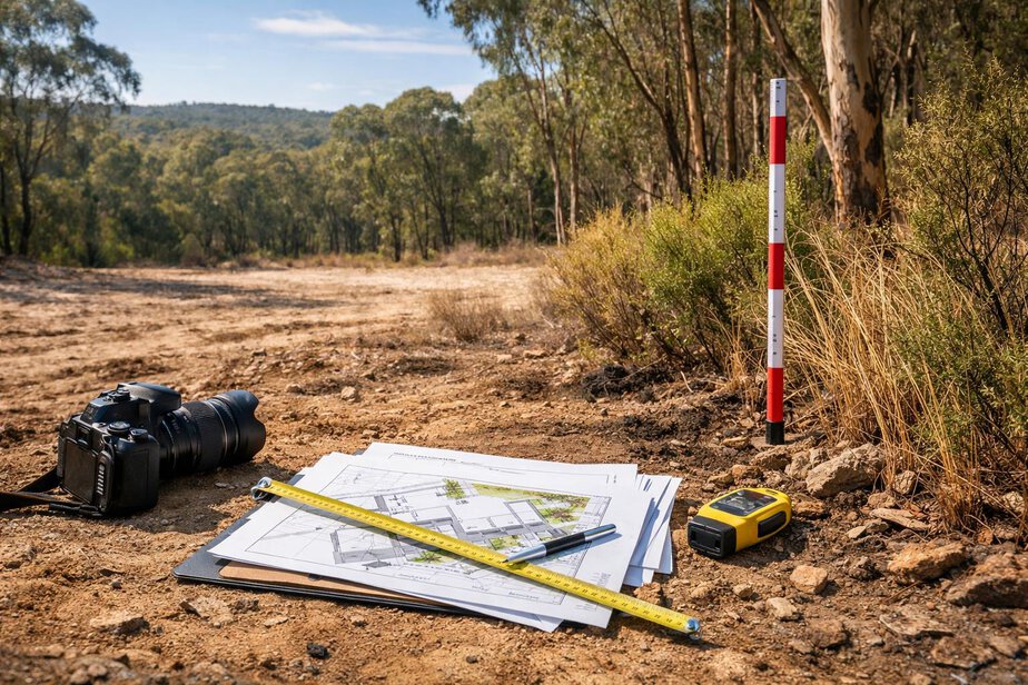
That is why a good assessment is not based on a quick look from the front gate. It requires careful checking of the site and its surroundings, usually with maps, photographs, measurements and recorded assumptions.
How the final BAL is determined and verified
FireRescue’s learning series describes BAL as a structured process: understanding bushfire attack on buildings, collecting site information, measuring vegetation distance and slope, determining the BAL, then verifying and recording the outcome. That sequence reflects how a careful assessment should be approached in practice.
The assessor does not simply choose the rating that “looks right”. The final BAL should be derived from the required method, using the correct inputs and recorded evidence. If the site has multiple hazard directions, the highest applicable exposure generally drives the result.
Verification is an important part of the process. This means checking that the inputs, measurements and assumptions are consistent and that the final BAL aligns with the evidence. If something is unclear, the assessor may need additional site inspection, mapping or client clarification before finalising the outcome.
Good practice also means documenting what could affect the result later. That includes where measurements were taken from, which vegetation was classified, what slope was assumed or measured, and whether any site features limited the view or access to the hazard area.
This is especially important where the site may change over time. A cleared paddock can regrow. A reserve can be landscaped. A driveway, fence line or outbuilding may be added. If the land conditions change, a BAL-based design should be checked again before approval or construction.
What records should be kept with the BAL assessment
Strong records make the assessment easier to review, verify and use in planning or building work. They also help explain the result if a council, building surveyor or consultant asks for more detail.
A useful BAL file should usually include photographs, measurements, maps, assumptions and notes about limitations. The aim is not to create paperwork for its own sake. The aim is to show how the outcome was determined and where uncertainty remains.
Useful records to keep
- Site photographs showing the proposed building location and the surrounding vegetation.
- Measurements showing the distance from the building to classified vegetation.
- Simple site plans or maps marking boundaries, slope direction and relevant hazard areas.
- Notes identifying the vegetation class used in the assessment.
- Assumptions made where access, visibility or survey information was limited.
- Any exclusions applied under the assessment method.
- A clear note of the final BAL and how it was verified.
Limitations should also be recorded. For example, a site visit in one season may not show the full condition of vegetation later in the year. A nearby lot may be undeveloped today but not remain so. Satellite imagery can assist, but it may not replace a proper on-ground check where one is required.
Assumptions must be treated carefully. If the assessment relies on an assumed land use, assumed boundary location or assumed vegetation condition, that should be clearly stated. A hidden assumption can change the meaning of the result.
Common BAL Assessment Mistakes
Even a careful assessment can be undermined by simple errors. These mistakes are common because bushfire assessment combines site inspection, mapping, measurement and judgement.
- Incorrect vegetation classification. A grassed area, a garden, a plantation, a reserve or natural bushland may each need different treatment under the method.
- Measuring from the wrong point. Distances must be taken from the correct part of the proposed building and to the correct point in the classified vegetation area.
- Overlooking slope. A slope under the vegetation can materially affect the final BAL, especially where fire could move uphill towards the building.
- Relying on old site information. Vegetation, boundaries, access and site works can change. Old plans may no longer match the land.
- Treating BAL-LOW as no bushfire risk. BAL-LOW means very low assessed exposure, not zero risk. Embers and secondary fires can still threaten a property.
Another common problem is assuming that every bushfire-related question is answered by BAL alone. In reality, planning controls, access, water supply, defendable space and construction requirements can all affect whether a project is acceptable.
If there is any uncertainty, the safest approach is to have the site checked again before drawings are finalised or a permit is lodged.
How BAL affects construction requirements
The BAL rating does not stand alone. It helps determine the level of construction detail that may be needed under the relevant bushfire construction standard and local permit conditions. As exposure rises, construction measures generally become more demanding.
These measures may include choices about glazing, doors, vents, gaps, roof space protection, external wall materials, balconies, gutters, underfloor areas and ember-resistant detailing. Higher BALs can also affect the design of attachments and the treatment of nearby features that may collect embers or heat.
However, a higher BAL is not a guarantee of future failure, and a lower BAL is not a guarantee of survival. Bushfires are dynamic. Weather, fuel conditions, wind direction, ember showers and maintenance all influence actual outcomes.
That is why BAL should be seen as part of a broader bushfire risk management process. Construction helps, but so do site layout, vegetation management, water supply, emergency access, maintenance and sensible operational planning before bushfire season.
It is also important not to treat BAL as a substitute for all other approvals. A building may still need planning permission, a building permit, engineering input, servicing approval and compliance with other fire safety or emergency access rules.
Planning controls versus construction standards: what is the difference?
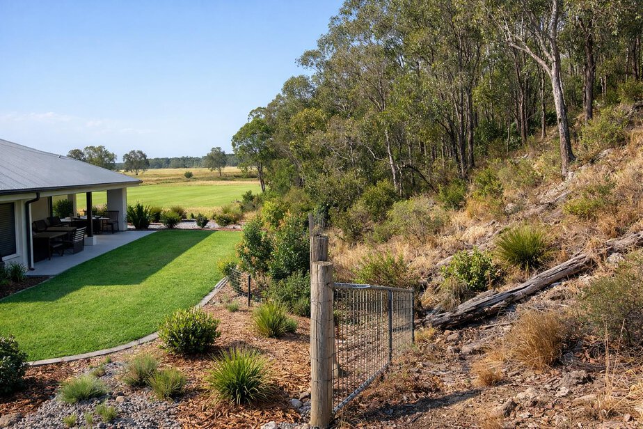
A BAL assessment is usually focused on construction exposure. A bushfire planning assessment is broader. It may look at whether a proposal is suitable in the landscape, whether access and defendable space are adequate, and whether the development pattern itself increases risk.
In practice, several documents and requirements may interact:
- BAL assessment: identifies construction exposure for a building or part of a development.
- Bushfire hazard assessment: considers broader site and landscape bushfire issues during planning.
- Bushfire Management Statement: may explain how bushfire issues will be addressed in a proposal.
- Bushfire Management Plan: may set out site-specific management measures and responsibilities.
- Defendable space, water supply and access: may be required to support safe design and emergency response.
These items should not be collapsed into one another. A proposal might satisfy one requirement and still fail another. For example, a site could have an acceptable BAL for construction, but still need better access, more setback or stronger landscaping controls before a planner or council is satisfied.
That is why early advice is useful. If bushfire matters are identified late, design changes may be more expensive and harder to integrate cleanly into the project.
Victoria as an example: Bushfire Prone Area and Bushfire Management Overlay
State planning systems differ, so it is important not to assume one jurisdiction’s rules apply everywhere. Victoria provides a useful example because two related terms are often discussed together but mean different things.
A Bushfire Prone Area is a mapped area where bushfire planning and building considerations may apply because of the potential for bushfire exposure. A Bushfire Management Overlay is a planning control used in the planning scheme to manage bushfire risk for particular land.
In broad terms, the Bushfire Prone Area helps trigger bushfire-related building considerations, while the Bushfire Management Overlay is a planning tool that can impose additional assessment and design requirements.
Victoria’s bushfire planning settings have also been updated in recent years. Under Amendment VC248, some planning provisions now refer to radiant heat exposure of 12.5 kW/m² in places where older planning language may have used BAL-12.5 terminology. The change was intended to make clear that the planning measure is about separation from the bushfire hazard, not about abolishing the BAL construction categories.
That distinction matters. The construction categories such as BAL-12.5, BAL-19 and the others still remain relevant in the building and design process. The planning language change does not mean the BAL system has disappeared.
Practical example: how vegetation, distance and downslope land change the result
Consider two similar blocks planned for a single dwelling. Both sit near classified vegetation. On the first block, the building is set back a healthy distance from lightly fuelled vegetation on relatively flat land. The BAL may be moderate because ember attack is the main concern and radiant heat exposure is limited by the distance.
On the second block, the building is closer to denser vegetation and the land slopes down away from the building so that the vegetation sits lower in the landscape. Depending on the direction of slope and the applicable method, this can increase the exposure because fire behaviour, heat and flame contact potential may be more severe than on the flat site.
If the second block also has heavier fuel, a more exposed boundary or less effective separation in one direction, the final BAL may be higher again. That is why the same building design can produce different BAL outcomes on different lots, or even on different parts of the same lot.
This example also shows why a site should not be judged from a driveway view or a street view alone. The important question is not simply, “What does the land look like?” It is, “What is the assessed exposure from the relevant vegetation, distance and slope conditions around the proposed building?”
When to seek professional or council advice
Some projects are straightforward, but others need specialist judgment. A suitably qualified bushfire professional, building surveyor or council officer should be consulted when the proposal is in a bushfire-prone area, sits near complex vegetation, involves a steep or uneven site, or forms part of a larger development or planning application.
Professional help is also wise when the land is partially cleared, where mapping does not match what is on the ground, where there are multiple hazard directions, or where the design may rely on assumptions about vegetation management or future site works.
Council input is especially useful where planning controls apply, because councils can advise on the pathway for a permit, the type of bushfire documentation likely to be needed, and whether local conditions may affect the application.
For building work, a building surveyor can help confirm what construction evidence is required before approval. That may include the final BAL documentation, design drawings, material selections and any supporting reports.
Where life-threatening emergencies exist in Australia, call Triple Zero (000) immediately. A BAL assessment is a planning and construction tool, not an emergency response system.
Next steps for property owners
If you are planning to build, renovate or develop in a bushfire-prone area, start with the mapping. Check the current official bushfire maps and planning overlays that apply to your property, then confirm whether your proposal triggers a BAL assessment or broader bushfire planning requirements.
Next, speak with your council, planner or building surveyor early. Ask what reports, approvals and permit conditions are likely to be needed for your site and project type. If a formal assessment is required, obtain it from a suitably qualified professional who uses the current standards and local rules.
Before any design is finalised, confirm the construction requirements that flow from the BAL and any additional planning controls. This is the best time to make changes to layout, setbacks, materials, access or services. After drawings are complete, changes can become costly and difficult.
Finally, remember that bushfire requirements can change over time. Always verify current maps, standards, council advice and permit conditions before you begin work. A careful early check can save time, reduce redesign and improve the quality of the final outcome.
This article provides general information and study support only. A formal BAL assessment must follow current standards, legislation, planning controls and local requirements. Consult an appropriately qualified professional, building surveyor or council where an official assessment or approval is required.
In practice, the safest approach is simple: check the latest information, use the correct assessment method, and confirm the required construction standard before construction starts.
FireRescue Training Hub
Access practical fire and emergency study support resources, downloads, checklists, audio guides, and member-only course content.
- Course library
- PDF downloads
- Audio guides
- Checklists
Study support only. Not accredited training or a replacement for workplace procedures.
About the author and safety review
Ken Walker
Former Station Officer and fire service educator
Former career firefighter with extensive career and volunteer fire service experience.
Qualifications: Associate Diploma of Applied Science in Fire Technology; Institute of Fire Engineers studies.
Author profilehttps://www.firerescue.com.au/about-us/