Key Takeaways
Fire-induced toxic gas mapping helps first responders and emergency services predict and manage the spread of dangerous gases released during fires. It supports safer evacuation planning, hazard assessment, and health risk management.
In Australia, coordinated use of toxic gas mapping by Fire/Rescue, Police, SES, and Ambulance services improves response outcomes. Always follow official advice during fire emergencies and call 000 immediately if life is at risk.
Fire-Induced Toxic Gas Mapping Explained
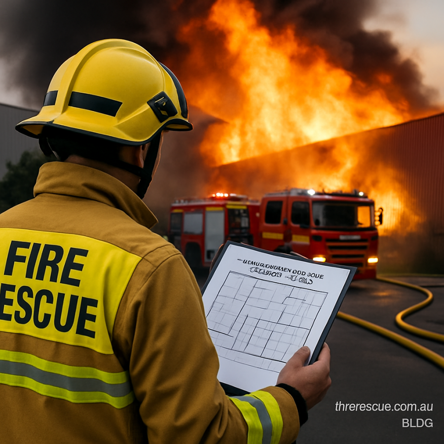
Toxic gases produced by fires can be invisible and deadly. Mapping these gases involves identifying where harmful substances like carbon monoxide, hydrogen cyanide, and other volatile compounds spread during a fire. This is crucial for protecting firefighters, emergency personnel, and the public.
The mapping process uses data from sensors, fire behaviour models, weather conditions, and local geography to predict gas movement. In Australia’s varied environments, from urban areas to bushland, understanding these dynamics helps prepare better responses.
Recent advancements in sensor technology and data analytics have significantly enhanced the accuracy and timeliness of toxic gas mapping. Combining ground-based sensors with aerial monitoring platforms such as drones and satellites allows for a multi-layered approach to data collection, improving situational awareness for incident commanders.
Fire-Induced Toxic Gas Mapping in Australia
Practical safety guide audio narration
What Is Fire-Induced Toxic Gas Mapping?
Fire-induced toxic gas mapping is the practice of tracking and predicting the presence and spread of harmful gases produced during fires. When materials burn, especially synthetic and chemical substances, they release gases that can be hazardous to human health. These gases may include carbon monoxide, nitrogen oxides, hydrogen cyanide, and formaldehyde, among others.
Mapping these gases involves collecting real-time data from sensors, using computer models that take into account wind direction, temperature, humidity, and landscape features. This information helps emergency services understand where toxic gases may travel and which areas are at risk.
In Australia, where bushfires and structural fires are common, toxic gas mapping is a valuable tool for emergency planning, evacuation strategies, and protecting the health of responders and residents.
Moreover, fire-induced toxic gas mapping is not only essential during active fire events but also plays a critical role in post-fire assessment. Understanding residual toxic gas concentrations in affected areas aids in determining when it is safe for residents to return and for cleanup operations to commence. This long-term perspective ensures ongoing community safety beyond the immediate emergency.
Why Is Toxic Gas Mapping Important for Fire and Emergency Services?
Toxic gases can cause serious health effects, including respiratory distress, unconsciousness, and even death. Firefighters are often the first to face these hazards, making accurate and up-to-date gas mapping critical for their safety.
Emergency services such as Fire/Rescue NSW, Victoria’s Country Fire Authority, Queensland Fire and Emergency Services, and others use this mapping to guide decisions about when to enter a fire zone, how to manage evacuations, and where to deploy resources. It also informs the Police and SES when restricting access or coordinating rescue efforts.
For the public, understanding the dangers of fire-induced toxic gases and relying on official warnings helps reduce injuries and fatalities. Ambulance services depend on this information to prepare for treating affected individuals, particularly those suffering from gas inhalation.
In addition, toxic gas mapping supports the development of safety protocols and personal protective equipment (PPE) standards tailored to the specific risks encountered in Australian fire scenarios. This ensures that emergency personnel are equipped with the most effective gear to mitigate exposure and maintain operational effectiveness during hazardous incidents.
How Is Fire-Induced Toxic Gas Mapping Conducted?
Data Collection
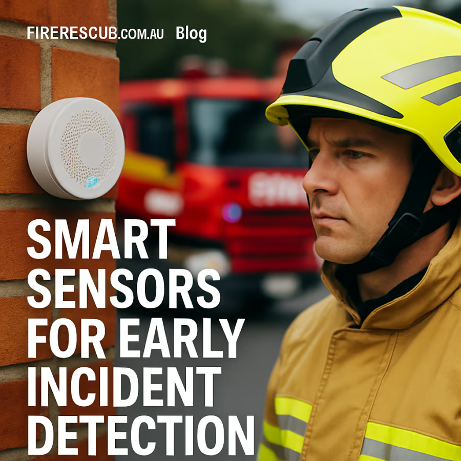
Sensors placed in and around fire-prone areas measure levels of specific gases. These can be fixed stations in cities or portable monitors carried by firefighters. Drones and satellite imagery may also contribute information about fire dynamics and smoke plumes.
Emerging sensor technologies, including electrochemical detectors and infrared spectroscopy devices, offer enhanced sensitivity and faster response times. These innovations enable more precise monitoring of toxic gas concentrations, even in challenging environments with variable atmospheric conditions.
Modelling and Prediction
Computer models use the gathered data along with weather forecasts, topography, and information about the burning materials to predict how toxic gases will move. This helps emergency services anticipate which areas will be affected and plan accordingly.
Advanced modelling techniques incorporate machine learning algorithms that refine predictions by analyzing historical fire and gas dispersion data. This approach improves the accuracy of forecasts, enabling more dynamic and adaptive response strategies as fire conditions evolve.
Communication and Response
The results of toxic gas mapping are shared with emergency services and often integrated into broader incident management systems. Fire commanders can adjust tactics, Police can enforce safety perimeters, and Ambulance services can prepare for casualties. Public warnings are also issued based on these assessments.
Effective communication channels are vital to ensure that all stakeholders receive timely and actionable information. This includes leveraging mobile alert systems, social media platforms, and community networks to disseminate warnings and safety instructions to the public, reducing exposure risks in affected areas.
Challenges and Considerations in Australian Conditions
Australia’s unique environment presents challenges for toxic gas mapping. Bushfires often occur in remote, rugged terrain, making sensor deployment difficult. Weather conditions such as sudden wind shifts and high temperatures can rapidly change gas spread patterns.
Structural fires in urban areas may involve a range of materials that produce complex gas mixtures, requiring sophisticated detection and analysis. Collaboration among agencies, investment in technology, and ongoing training are key to improving mapping accuracy and usefulness.
Community education and preparedness also matter. Knowing the risks and following official fire warnings and evacuation orders can save lives when toxic gases threaten residential areas.
Additionally, environmental factors such as Australia’s frequent drought conditions and the prevalence of dry vegetation exacerbate fire intensity, which in turn increases toxic gas output. These factors necessitate flexible and responsive mapping systems that can adapt quickly to rapidly changing fire scenarios.
If You Only Do Five Things
First, always stay informed about fire risks in your area by monitoring local fire authority websites and listening to official alerts. Toxic gas hazards are often part of these warnings.
Second, if a fire occurs nearby, follow evacuation instructions promptly. Do not enter areas marked unsafe due to toxic gas threats.
Third, understand that smoke and gases from fires can be harmful even if the flames seem far away. Use masks if recommended and avoid outdoor exposure when possible.
Fourth, support first responders by giving way to emergency vehicles and reporting fire or gas hazards accurately to authorities.
Fifth, prepare your home and family with a fire safety plan that includes awareness of smoke and gas risks, safe evacuation routes, and emergency contacts.
Who does what in Australia?
Fire/Rescue services focus on firefighting, rescue, and hazard control at fire scenes. They lead the efforts to contain fires and manage toxic gas risks.
Police secure areas, control traffic, assist with evacuations, and enforce safety zones during emergencies involving toxic gases.
Ambulance services provide medical care to those affected by smoke inhalation or toxic exposure and help with triage and transport.
State Emergency Service (SES) supports during disasters by helping with evacuations, public information, and sometimes monitoring environmental hazards.
Practical Steps for Agencies and Community
Emergency services should continue to invest in toxic gas detection technologies and integrate mapping results with broader incident management systems. Regular interagency training on fire-induced toxic gas scenarios enhances coordination and response efficiency.
Communities can participate by familiarising themselves with fire safety plans, understanding local warning systems, and maintaining communication with neighbours, especially vulnerable people.
Landowners and business operators can help by safely storing hazardous materials and ensuring buildings meet fire safety standards to reduce toxic gas production.
In all cases, following official advice and calling 000 for emergencies ensures timely and appropriate responses.
Conclusion
Fire-induced toxic gas mapping is a vital tool in managing the health and safety risks posed by fires in Australia. By understanding how toxic gases move and affect communities, emergency services can respond more effectively and protect lives.
For the public, staying informed, following official guidance, and preparing ahead helps reduce risks associated with toxic smoke and gases. Together, these efforts support safer Australian communities during fire emergencies.
As technology and research continue to evolve, the integration of toxic gas mapping into comprehensive fire management strategies will become increasingly sophisticated. This progress promises enhanced protection for both emergency responders and the communities they serve, reinforcing resilience against the growing threat of fires in Australia’s diverse landscapes.
FireRescue Training Hub
Access practical fire and emergency study support resources, downloads, checklists, audio guides, and member-only course content.
- Course library
- PDF downloads
- Audio guides
- Checklists
Study support only. Not accredited training or a replacement for workplace procedures.
About the author and safety review
Ken Walker (AU)
Former career firefighter and Station Officer
Fire and emergency service educator with 40 years of career and volunteer experience.
Qualifications: Associate Diploma of Applied Science in Fire Technology; Institute of Fire Engineers studies.
Author profileThorian Blackwell (UK)
FireRescue safety reviewer
Reviewed for clarity, Australian context and alignment with official safety guidance.
Reviewer profileGeneral information only. Follow official warnings, local procedures and manufacturer instructions.